- Destinations
- Cultural Tours
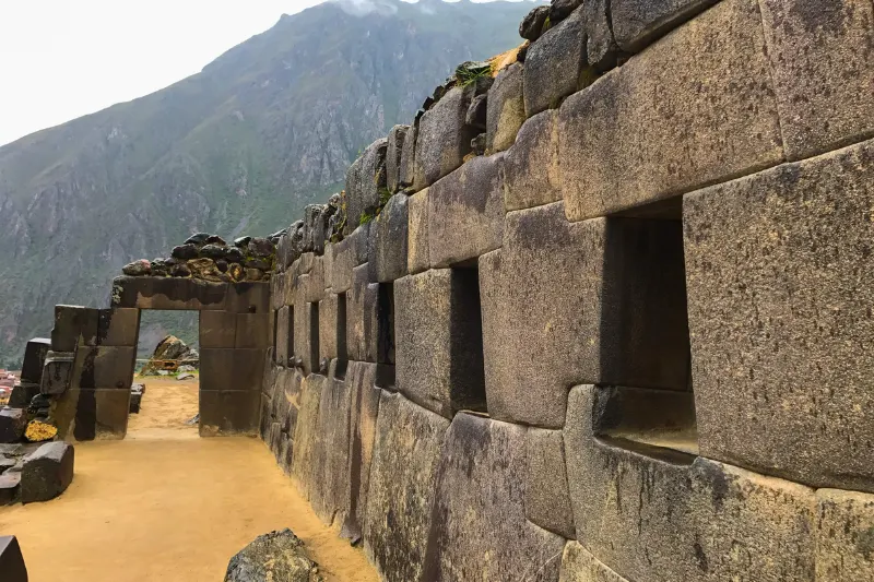
- Machu Picchu Full Day Tour
- Machu Picchu Trip
- City tour Cusco
- Short Inca Trail to Machu Picchu Full Day
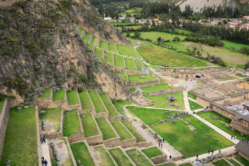
- Sacred Valley and Maras Moray Tour Full Day
- Short Inca Trail to Machu Picchu – Short Inca Trail 2 Days
- Machu Picchu Tour from Cusco 2 Days
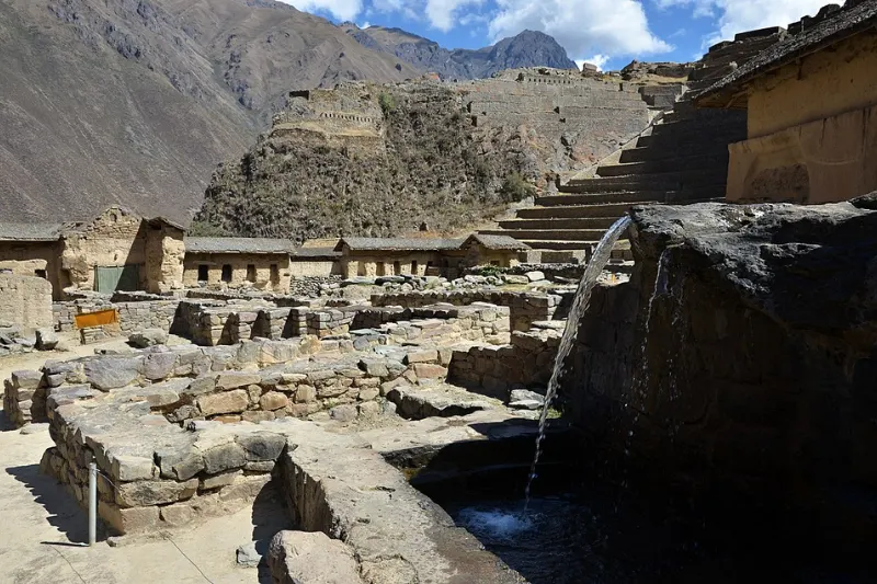
- Sacred Valley and Machu Picchu Tour – 2 Day Tour Sacred Valley and Machu Picchu
- Machu Picchu By Car Tour 2 Days
- Lares Trek 4 Days to Machu Picchu
- Inka Jungle Tour 3D/2N
- Inca Jungle Trek 4D/3N – Inka Jungle Trek To Machu Picchu
- 5 Day Salkantay Trek – Salkantay Trek 5 Days Tour
- Adventure Tourism
- About Us
- Blogs


")